Weather Warnings Severe Thunderstorms and Hail: Brace for Impact on Tuesday

Contents
Overview
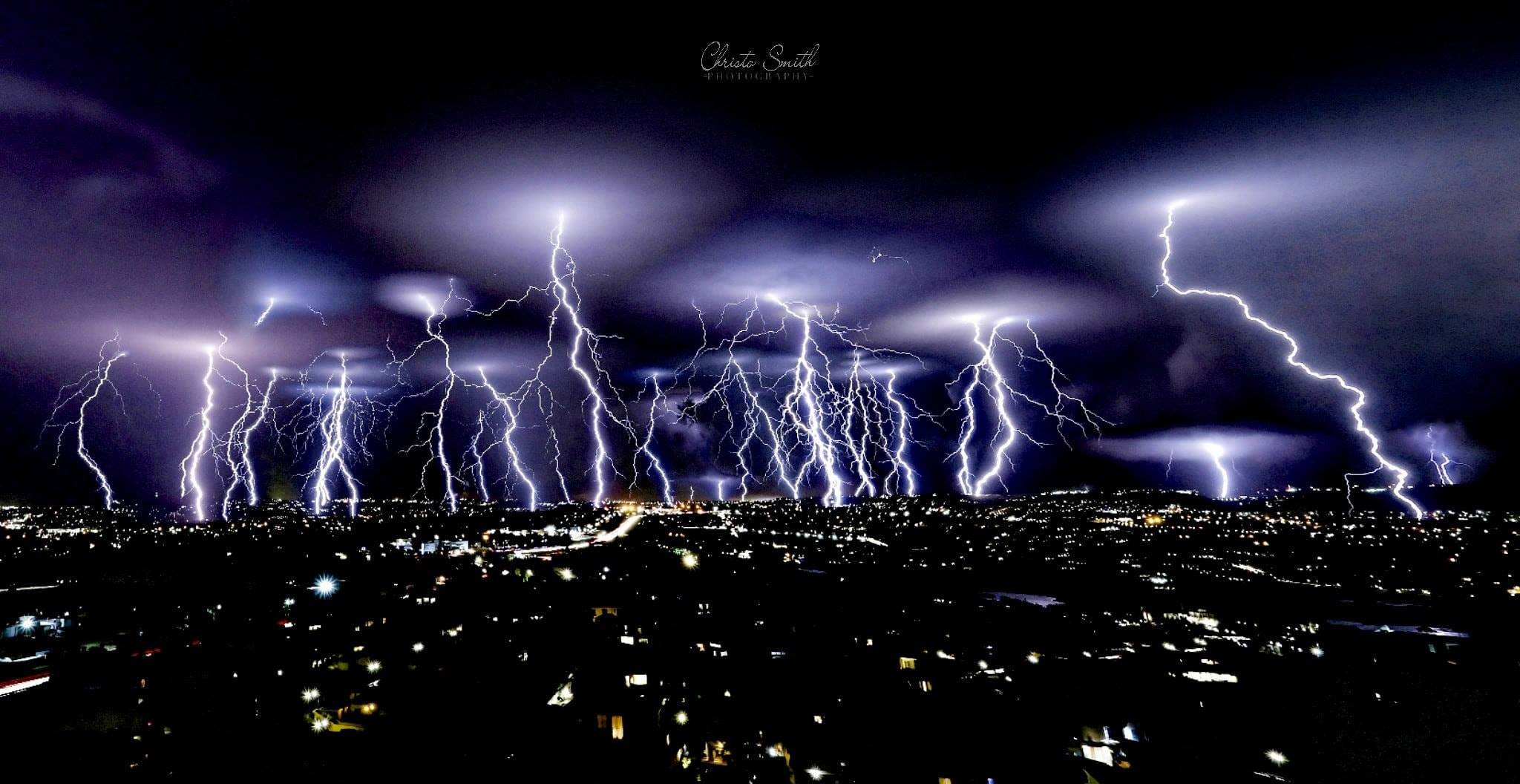
Weather Warnings: South Africa is gearing up for a weather spectacle as severe thunderstorms and hail are predicted to hit various regions on Tuesday. The South African Weather Service has issued a yellow level 2 warning, emphasizing the potential for strong damaging winds, significant hail, and heavy downpours. This weather event is expected to impact the western and southern parts of KwaZulu-Natal, Gauteng, the eastern sections of North West and Free State, and the highveld of Mpumalanga.
Weather Warnings and Conditions
Thunderstorms and Hail
- The yellow level 2 warning signifies the severity of the expected thunderstorms, which may bring about strong damaging winds, substantial hail, and intense rainfall.
- Affected areas include the western and southern parts of KwaZulu-Natal, Gauteng, eastern North West, eastern Free State, and the highveld of Mpumalanga.
ALSO READ Weather Update for Monday, October 30, 2023: Severe Conditions Expected Across South Africa
Fire Danger
- Extremely high fire danger conditions are anticipated in various regions, including Beaufort West and Cederberg municipalities of the Western Cape, central and western parts of the Free State, and others.
Heatwave
- A prevailing heatwave across most of the country is expected to persist until Wednesday.
- Heatwave conditions with persistently high temperatures are forecasted in Joe Gqabi and Matatiele local Municipality of the Eastern Cape, Limpopo, Free State, North-West Province, and parts of the Northern Cape on Tuesday, extending into Wednesday over the northern parts of Limpopo.
ALSO READ Addressing Unemployment: A South African Struggle and Resilience
Tuesday’s Weather Forecast
Gauteng
- Partly cloudy and hot with scattered thundershowers, particularly warm in the south.
- Expected UVB sunburn index: Very High.
Mpumalanga
- Cloudy in the east with morning drizzle and fog patches along the escarpment.
- Partly cloudy and warm to hot, with isolated showers and thundershowers, especially very hot in the Lowveld.
Limpopo
- Partly cloudy and hot to very hot, with extreme heat in western bushveld and Lowveld.
- Isolated afternoon thundershowers in the south.
North West Province
- Partly cloudy and hot to very hot, with scattered showers and thundershowers, isolated in the southwest.
Free State
- Fine in the extreme south initially, otherwise partly cloudy and hot to very hot.
- Isolated showers and thundershowers in central and eastern parts, scattered in the extreme northeast.
Northern Cape
- Fine in central and southern parts initially, becoming partly cloudy, windy, and very hot to extremely hot.
- Isolated showers and thundershowers in the northeast, evening showers in the southwest.
Western Cape
- Partly cloudy and cool to warm with isolated afternoon to evening showers and thundershowers.
- Light rain along the southwest coast from late morning.
Eastern Cape
- Western half: Morning fog in places, partly cloudy and warm to hot, very hot and windy in the north.
- Eastern half: Morning fog, fine and warm to hot, very hot in the north.
KwaZulu-Natal
- Partly cloudy and warm to hot, very hot in some western and northern areas.
- Isolated showers and thundershowers, scattered in the west and south.
Conclusion
With severe weather warnings in place, residents are urged to stay informed and take necessary precautions. Whether it’s the potential thunderstorms and hail or the lingering heatwave, being weather-ready is key to navigating the atmospheric challenges on Tuesday. Stay tuned for updates and ensure safety measures are in place.


